Website launched
Route changes, closures and anything else riders should know will be posted here. Sign up below to get them by email.
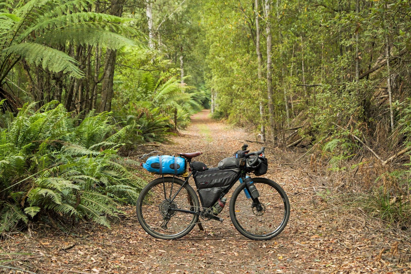
Launceston to Hobart by gravel, rail trail and forestry road: wild coastline, alpine plateaus, lakes and temperate rainforest.
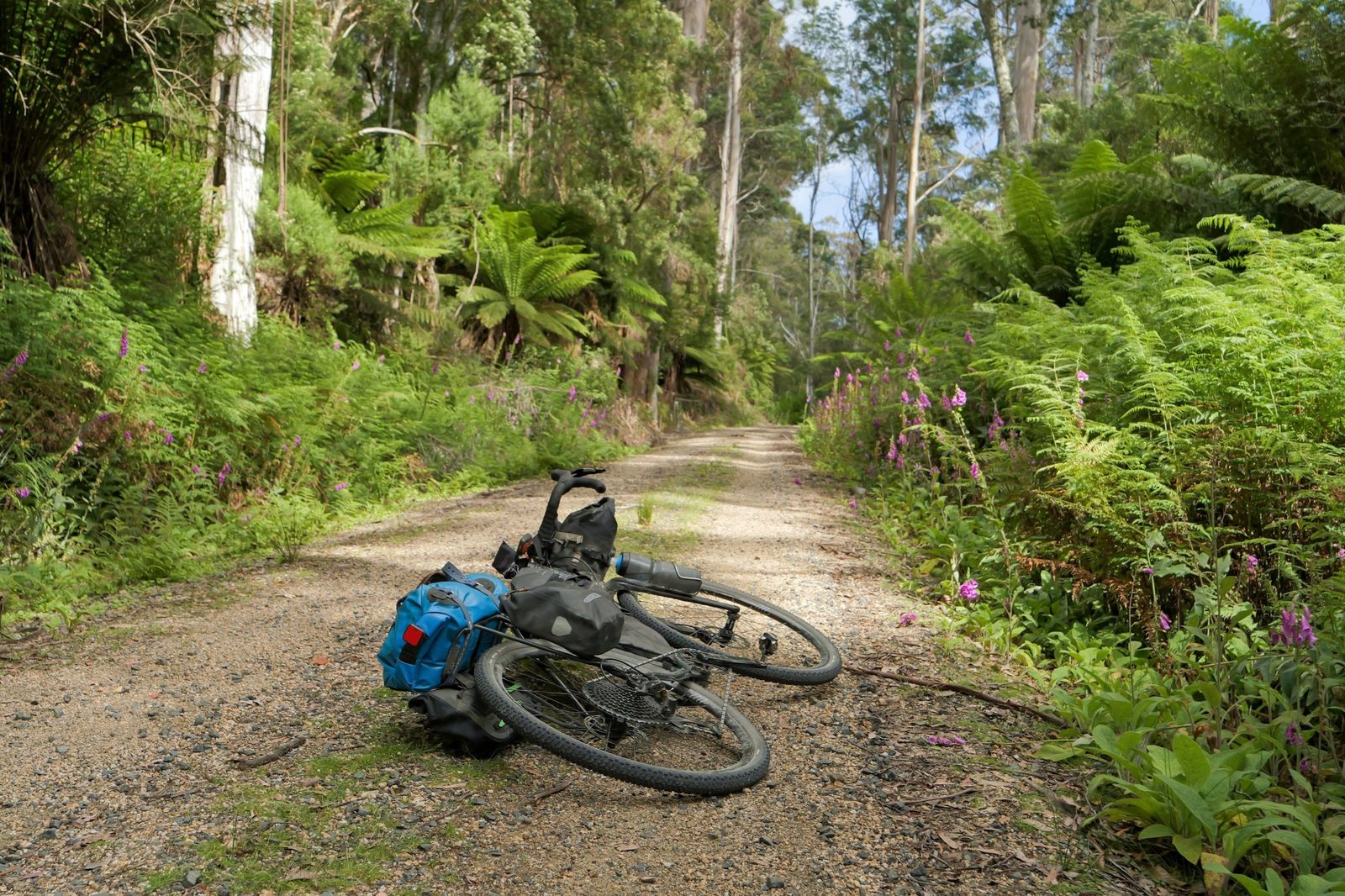
Tasmania has always had great gravel riding, but nothing tied the island's best places together into one line on the map. The Tassie Traverse does that. It starts in Launceston and winds south to Hobart (nipaluna), passing through some of the state's most loved riding country.
Along the way you roll through the mountain bike towns that put Tassie on the map, including Derby, St Helens and Maydena. You'll climb Ben Lomond via Jacobs Ladder, camp at the Bay of Fires and walk to Wineglass Bay or The Hazards in Freycinet National Park. Further south there are lakeside camps in the Central Highlands, and waterfalls and glaciated lakes in Mt Field National Park.
It's designed for gravel bikes, with 48 to 56 mm tyres the sweet spot. Small towns make resupply easy, and you'll want a day or two spare for places like Derby and the national parks. Expect pubs, local food and wine, and the odd wombat, echidna or wedge-tailed eagle.
The full map, elevation profile and GPX download live on Ride with GPS. The route guide on Bikepacking.com has the detail on towns, camping, resupply and what to expect.
Open the route on Ride with GPS to explore the map, check the elevation and download the GPX for your bike computer or phone.
View route and download GPXRead the complete guide published on Bikepacking.com, with highlights, route notes and planning information.
Read the guideGood to know: weather can change fast and snow is possible at higher elevations even in summer. Several river crossings can rise quickly after heavy rain, some highway sections have limited shoulders, and logging trucks use some forestry roads. The Bay of Fires campgrounds have no water, and many national park campsites need a pass (Freycinet and Mt Field may need booking ahead).
Ride at your own risk. Before you set out, check weather, fire danger, and land and road closures, and carry what you need to be self-sufficient. Conditions change, so check the updates below.
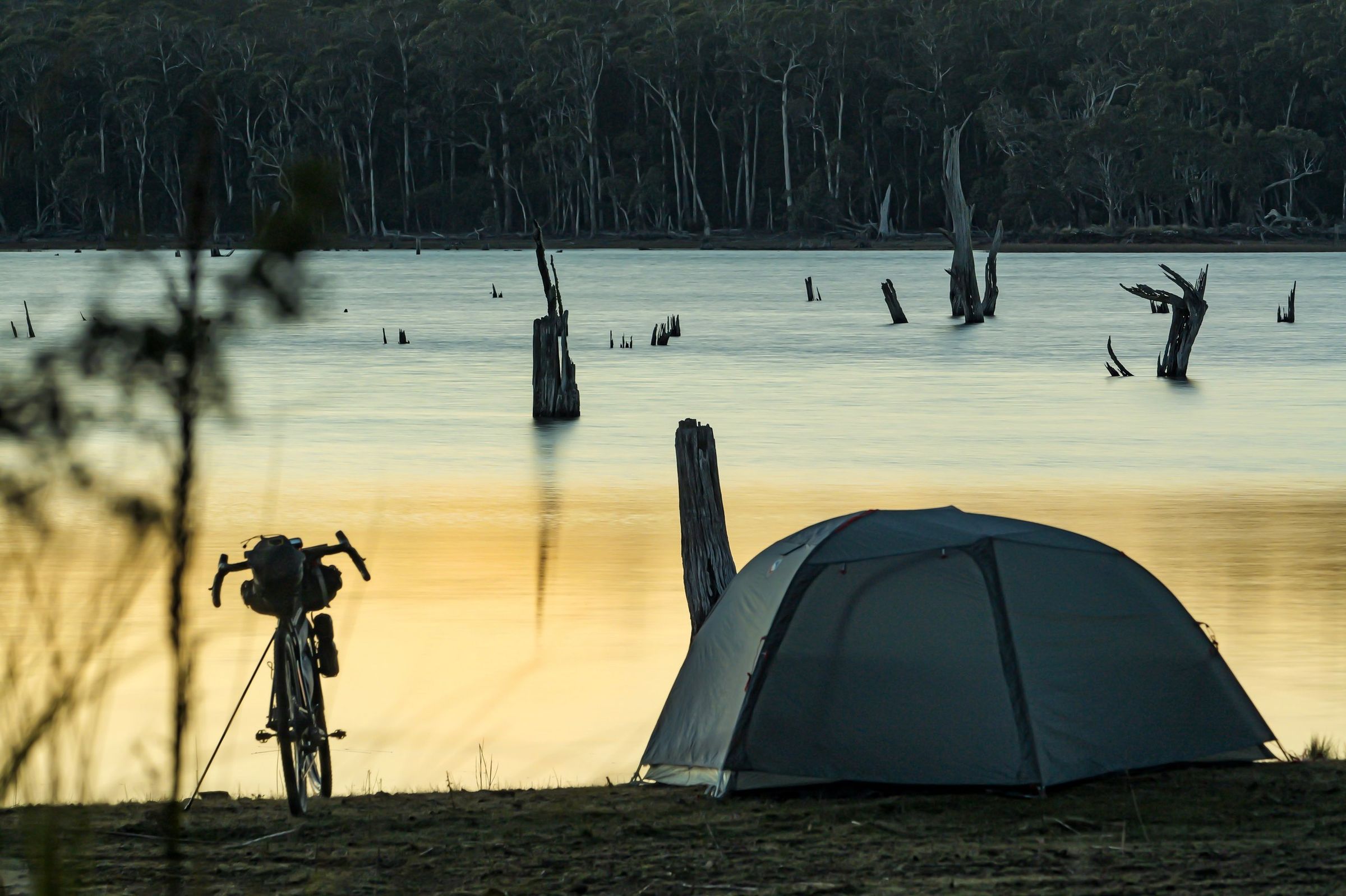
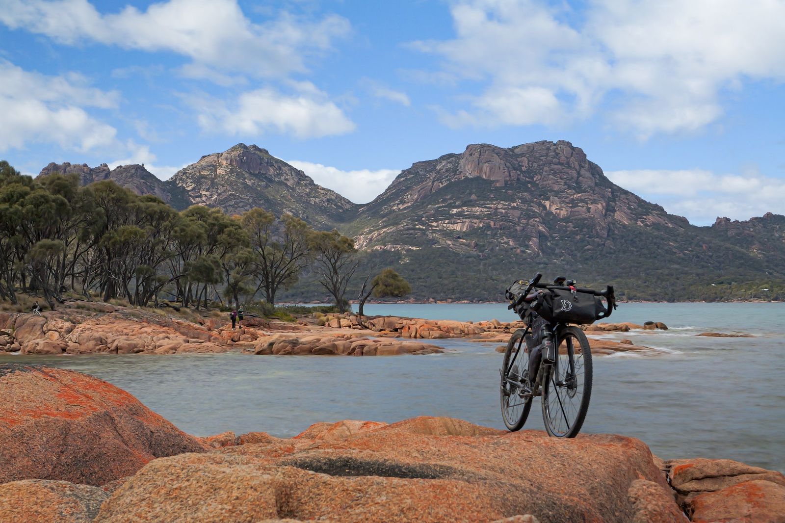
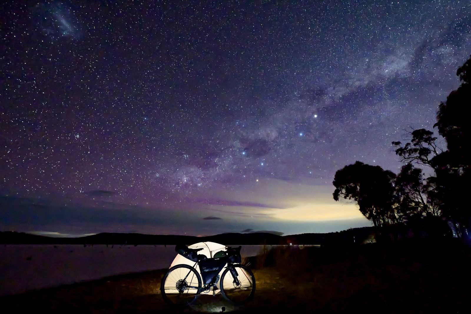
Route changes, closures and anything else riders should know will be posted here. Sign up below to get them by email.
Closures, reroutes and news about the Tassie Traverse, sent only when there's something worth knowing.
No spam. Unsubscribe any time.
Questions about the route, a conditions report, or interested in working together? Get in touch.
Spotted a closure, a washout or something riders should know? Let me know and I'll update the route.
Email MickAccommodation, bike shops, brands, tourism bodies and local businesses along the way: I'd love to hear from you.
Partner with the TraverseFollow along: Instagram @tassietraverse and @mick.turnbull, or join the Tassie Traverse Facebook group.